
December 1, 2021
3D models and digital twins are changing the game for civil engineers. Point clouds minimize the need to visit remote facilities, enabling easy remote collaboration and creating savings from both a time and cost perspective. There’s a misconception out there, though, that no company exists that offers solutions to handle everything from point clouds to BIM and 360 views.
JP Global Digital is the answer to these civil engineering problems. We serve as a single source for creating digital twins, visualizing and managing 3D data, and facilitating collaboration with remote teams – without having to purchase multiple software platforms. Let’s take a look at JP Global Digital’s role through every step of your project:
While laser scanners tend to create highly accurate point clouds for 3D modeling, laser scan processing software on its own usually lacks automation that allows for an swering questions within the context of a BIM project.
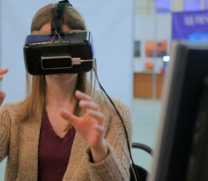
With JP Global Digital 3D reality capture, you can capture physical assets and turn them into a virtual environment using the latest data capturing tools, from 3D laser scanners to UAVs. These non-contact, non-destructive technologies capture the shape of any physical object, allowing you to document a size and shape into a 3D digital representation – taking your virtual environment to another level.
Using our 3D reality captures, civil engineering teams:
With JP Global Digital’s software, you can manage point clouds, BIM, and your digital twin from anywhere. We’re your single resource for everything you need for your project, from 3D reality capture to remote collaboration and management. If you’re ready to eliminate the need for multiple software platforms and gain efficiency through digital twin technology, contact JP Global Digital today.